Data access
Presentation
CNES, INRAE Avignon and the CREAF in Barcelona have joint force in this action realized within Theia Vegetation Biophysical Variable SEC.
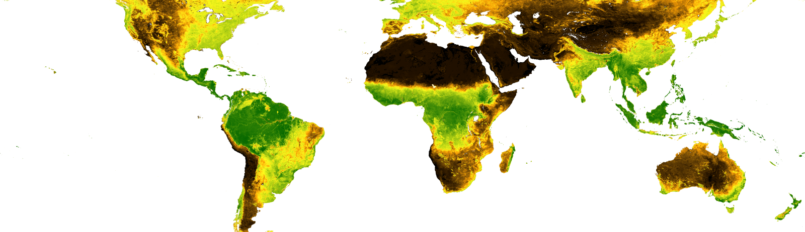
Two products (GEOV2-AVHRR and GEOV2-GCM) are available. They document a time series of vegetation variables (leaf area index, fraction of PAR absorbed and vegetation cover) every year since 1981. Both products are computed using data from the AVHRR instrument flown on board various NOAA platforms.
- GEOV2-AVHRR is a global map of vegetation biophysical variables (FAPAR, LAI and FCOVER) calculated every ten days from AVHRR LTDR data.
- GEOV2 Global Change Monitoring product (GEOV2-GCM) is a global map of vegetation biophysical variables (FAPAR, LAI and FCOVER) calculated every ten days since 1981 at 0.5º resolution after resampling the 0.05º GEOV2-AVHRR products.


Contact
Satellite
Name : NOAA
Imaging mode : Optical
Spectral bands :
- Red
- Near infrared
Resolutions : 4 km
Observation capability : Global coverage in 1 day
Coverage :
- Area : global
- Period : 1981 to now